Donna Howard sat on her bed, embracing her dog Minnie as the floodwater filled her apartment. She began yelling for help and banging on her door in an attempt to shove it open, but it wouldn’t budge. Luckily, an emergency crew heard her calls and bashed in the entrance.
Nearby, Vanessa Byrd was lucky enough to crawl out of her bedroom window, escaping the rising waters. Taza Satterwite found himself doing the same, the waters so high that he swam toward a second-floor window, where his neighbors let him in to wait out the rest of the storm.
“Everything is gone — everything,” Satterwite told local news outlet CBS17. “I have never seen nothing like this.”
These terrifying events took place in late June 2025 at Camelot Village in Chapel Hill, when Tropical Storm Chantal made its slow sweep across North Carolina. Some cities in Orange and Durham counties received upwards of 7 inches of rain in just a few hours.
North Carolina is no stranger to inland flooding. In September 2024, Hurricane Helene dropped 30 inches of rain across the western part of the state, causing landslides across major highways, downing thousands of trees, killing over 30 people, and displacing thousands more as it dismantled entire towns.
“North Carolina is flooding more than ever before,” Miyuki Hino says. “It’s something we hear often from the people we interview.”
Impact Report
![]()
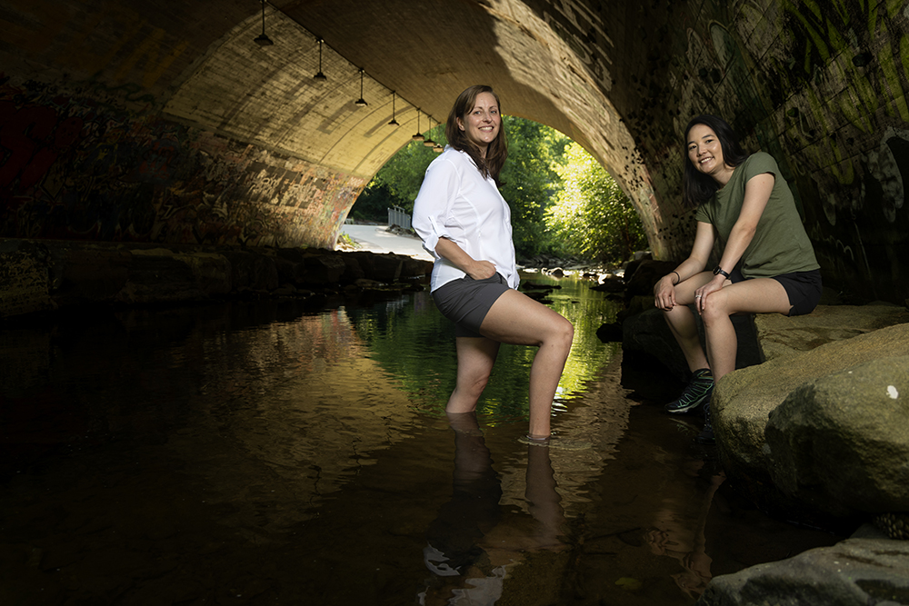
Carolina researchers Antonia Sebastian and Miyuki are uncovering how weather patterns evolve over time — and how these changes affect communities — to reduce the impact of future disasters.

From 1980-2024, North Carolina experienced 121 weather and climate disaster events with losses exceeding $1 billion each, according to NOAA’s National Centers for Environmental Information.
“In eastern North Carolina, we’ve estimated that almost half of flooded buildings are outside of the floodplain, most of which were uninsured,” Antonia “Toni” Sebastian adds. “More importantly, we’re seeing that a lot of repeat exposure is happening in communities that might have less financial capacity to cope with the flooding.”
Hino and Sebastian are both flood researchers at UNC-Chapel Hill and have been addressing this environmental challenge for over 10 years.
As a social scientist and public policy expert, Hino studies how weather events like hurricanes, floods, and heat waves affect people, their households, and entire communities. Sebastian, an engineer and hydrologist, creates models to track how flooding and other natural hazards evolve over time and explores strategies — both technical and policy-based — to reduce future flood impacts.
The duo came to Carolina in 2020 as part of a cluster hire through the Environment, Energy, and Ecology Program. Even though they work in different departments — Hino in city and regional planning and Sebastian in earth, marine, and environmental sciences — they became fast friends and now share a lab, students, and sometimes projects. Together, they’re training the next generation of scientists to tackle this ever-evolving challenge with more effective strategies.
“Flooding is an intractable problem,” Sebastian stresses. “It takes multiple disciplines to figure out how to address it. There are hydrological, meteorological, societal, and engineering aspects that all have to be considered. It is an all-encompassing, 21st-century challenge.”
Mapping who’s affected
Sebastian studies compound flooding, when inland and coastal floods converge. Her team is mapping flood zones across the Carolinas with unprecedented detail, offering new insights into how storms interact with the landscape.
They’re also examining how climate change is reshaping storms.
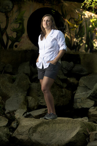
Antonia Sebastian (photo by Alyssa LaFaro)
“Tropical cyclones are getting wetter, and they might be slowing down,” Sebastian says. “What is the effect of those changes on where we expect it to flood now and in the future?”
Another focus is consecutive events — disasters that strike in quick succession. One of her students compiled a database of 78 North Carolina flood events from 1996 to 2020. Only six had been previously modeled, making it the state’s most comprehensive flood dataset.
“We’re using this database to understand who’s been exposed multiple times since 1996,” Sebastian says. “Miyuki is asking: Are people migrating away from these areas or are they stuck in place? Together, we’re assessing where the government has invested in reducing flood risk. Have those investments gone to the people who need it most?”
In Western North Carolina, where many communities are still recovering from Hurricane Helene, Sebastian is pioneering a new way to monitor disaster recovery. Inspired by a colleague’s work in Texas, the project uses AI to analyze 360-degree images of storm-damaged neighborhoods, taken by a GoPro mounted on a car.
Her team drives through affected areas each quarter, capturing updated images and training a model to detect signs of recovery like cleared debris, painted exteriors, or open windows.
The goal is to give local and state agencies a fast, scalable tool to assess how communities are bouncing back. If successful, the technology could survey 300 to 400 structures in just a few hours.
“That’s powerful information for decision-makers,” Sebastian says.
Tracking human impact
While Sebastian works behind the scenes to model and predict the effects of future storms, Hino is the person on the ground talking face-to-face with the people impacted by these disasters.
“I’m really interested in how natural hazards and environmental risks affect us,” Hino explains. “But also what we can do as households, as communities, as countries to manage the risks and reduce the damages.”
Her research dives into the ripple effects of extreme weather events — floods, hurricanes, heat waves — and how they impact everything from property values to migration decisions.
“If you flood once, maybe you think it’s a fluke,” she says. “But what if you flood three or four times? Does your decision to stay or move start to change?”
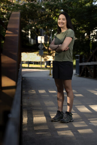
Miyuki Hino (photo by Alyssa LaFaro)
One of Hino’s major projects, the “Sunny Day Flooding Project,” is shedding light on a new kind of climate threat: frequent, low-level coastal flooding that occurs even without storms.
“Sea levels are about a foot higher than they were a century ago,” she notes. “Now, normal high tides or a little wind can flood roads. Our infrastructure just wasn’t built for this.”
To track these subtle but disruptive floods, Hino’s team developed open-source sensors equipped with cameras and pressure gauges. Deployed across coastal North Carolina, these devices are revealing a startling reality.
“In Beaufort, the tide gauge said it experiences 5 to 10 days of flooding a year. We recorded 26,” she says. “In Sea Level, just 20 miles away, we saw 128 days of road flooding in one year.”
But Hino’s work doesn’t stop at data collection. She and her team are also talking directly with residents to understand how these changes are affecting their lives and decisions.
Her second major research focus zooms out to a national scale, exploring how repeated exposure to hazards like floods or wildfires shapes long-term migration patterns.
“Most studies focus on one big event, like Hurricane Katrina,” Hino says. “But we’re looking at what happens when people experience smaller floods over and over again. Some people are seeing water on the road 50 days a year, along with multiple hurricanes. How do we plan for and respond to that?”
Ultimately, Hino wants to motivate governments, from local councils to federal agencies, to design better policies.
“We shape the consequences of disasters, from where we build to how we build to who gets help afterward,” she emphasizes. “And if we understand the impacts better, we can design better systems to make these weather events and not weather disasters.”
Bridging disciplinary divides
Together, Hino and Sebastian are reimagining how we understand and respond to flooding. They share a commitment to interdisciplinary research and education.
“What makes our collaboration powerful is that we challenge each other to ask better questions and ground our methods in each other’s expertise,” Sebastian says.
Hino echoes this sentiment: “Toni explains to me, in terms I understand, what’s possible with the models and where the uncertainty lies. That clarity is one of the reasons our projects work.”
One of their flagship collaborations examines how flood mitigation funds are distributed in North Carolina. By combining Sebastian’s flood modeling with Hino’s policy insights, they’ve created a more complete picture of who’s flooding, who’s applying for help, and who’s actually getting it. The results challenge conventional wisdom.
“In some ways, the narrative is flipped,” Hino says. “It looks like disadvantaged communities are getting funding at decent rates — but the most flood-prone areas aren’t applying enough. That’s a different problem entirely.”
Their collaborative approach is also embedded in mentorship. By sitting on each other’s student committees and co-developing research agendas, Hino and Sebastian are creating a rare environment where students learn to navigate both the technical and societal dimensions of climate resilience.
“One student wrote her first chapter with me and the next one with Miyuki,” Sebastian says. “That kind of balance is exactly what we’re trying to build. We’re not trying to do it all ourselves. We’re doing it better — together.”