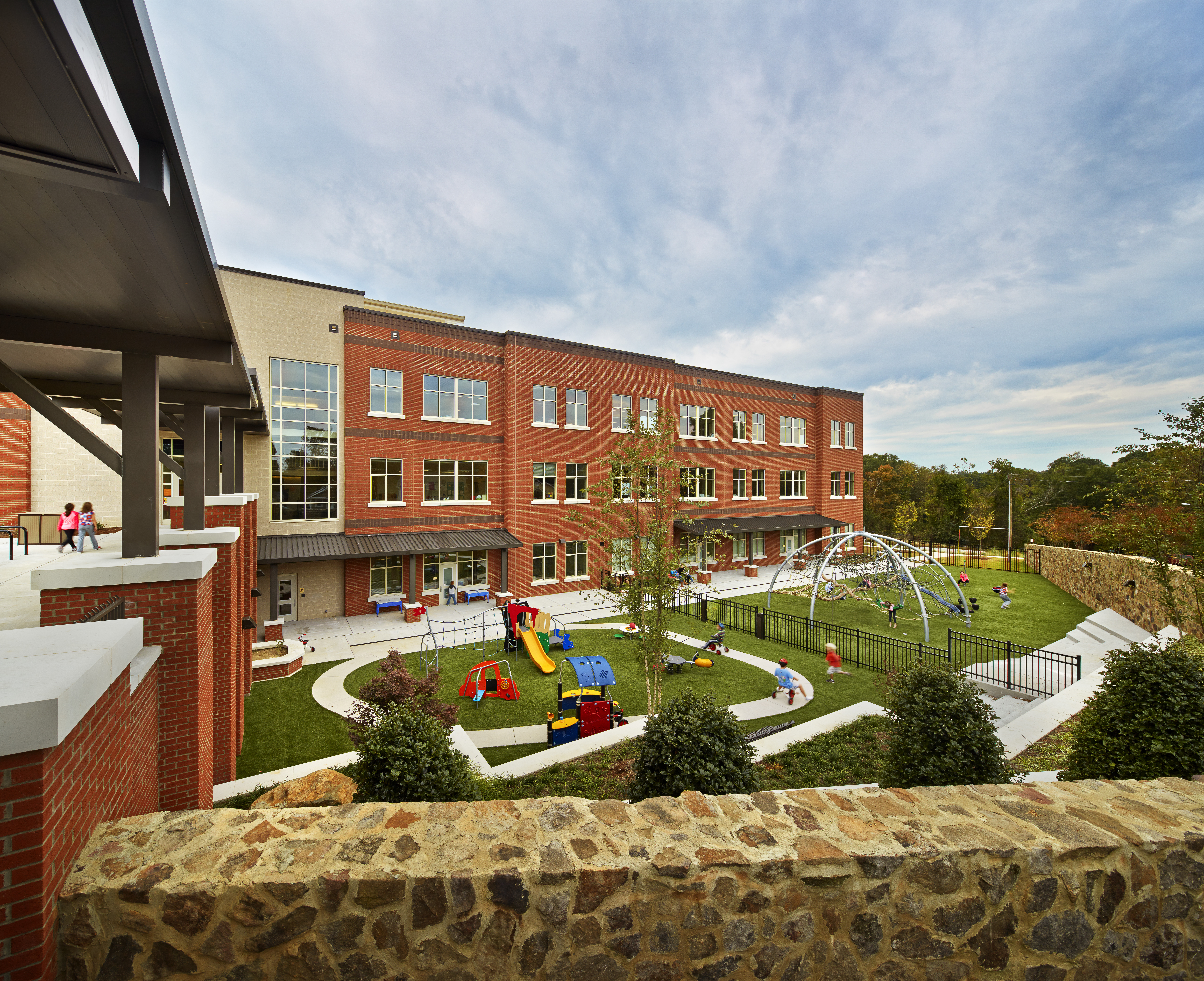
Each morning, about 800,000 North Carolina students spend an average of 23 minutes on a school bus, according to the North Carolina Department of Public Instruction’s Transportation Information Management System. Each student costs about $575 to transport — that’s $4.6 million a year.
Oftentimes, school districts and municipalities decide where to build a school without thinking about the transportation costs, according to UNC Department of City and Regional Planning Chair Noreen McDonald. “School districts are under a lot of pressure financially,” she says. “In North Carolina, there’s a large and growing population, so we have to build a lot of new schools, which are very costly. And there’s pressure to look for schools on less expensive land. Sometimes that can be great, but it can also be very expensive to get kids to those schools.”
In order to support school construction decision-making, McDonald and graduate student Mathew Palmer used data from North Carolina to assess how much it costs school districts to not only run buses but pay drivers and crossing guards, keep up with maintenance, and insert sidewalks and pavement for easy pick-up and drop-off. From this information, they developed the School Travel Cost Calculator — a tool to help districts figure out the cost of transportation based on a school’s specific location.
Chickens and eggs
Although not always convenient, building schools away from cities can promote other types of growth like housing developments and other businesses. The same holds true for the opposite situation: Housing developments do, sometimes, stimulate school construction. “It’s a chicken-and-egg concept,” Palmer says. “Does the school come first and then residential development — or vice versa?”
Two examples of these types of communities, according to McDonald, are Meadowmont and Southern Village. “The developers actually set aside sites in those neighborhoods to place a school for kids to go to,” she explains. “Those are very creative models, but that doesn’t happen everywhere.”
Those collaborations, however, are typically what’s missing in most cases. “It’s evident that there is a gap between transportation officials and land-use planners,” Palmer adds. “A really good example in our community, though, is Northside Elementary in downtown Chapel Hill. It took coordination from school board members, the superintendent, education facility planners, school transportation directors, residential developers, and local city planners for this school to come together.”
Unfortunately, even when schools are erected near neighborhoods, the proper measures aren’t always taken to make sure children can get there safely. Using aerial images from about 20 new schools — 11 in North Carolina and nine in Florida — Palmer observed community sidewalks to figure out the ease at which a child within a half-mile of the school could physically walk there. “At most schools, there was some piece of missing sidewalk or missing crosswalk,” McDonald says. “Just a little bit of something that would make it hard for a child to get there. Sometimes we miss the easy wins.”
Palmer and McDonald recognize the importance of communication in these situations. Together, they developed a website that educates users about school siting, implications for public policy and transportation planning, factors that influence cost, the School Travel Cost Calculator, and opportunities for a more efficient system. “Our goal is to get people talking about school transportation and all the different aspects of it,” McDonald says. “North Carolina is growing rapidly. If housing developments are designed correctly and connected to schools, it’s a win for everyone.”


